In our study of Texas, we learned that there are distinct features in different parts of the state. Each of our table groups made a map of the state, we divided up the state into regions, and we labled those regions. This will help us understand how life in our state is varied by region, production and work is different according to location, climate, and terrain, plus how each region of the state has it own cultural identity.
Take a look at our maps...

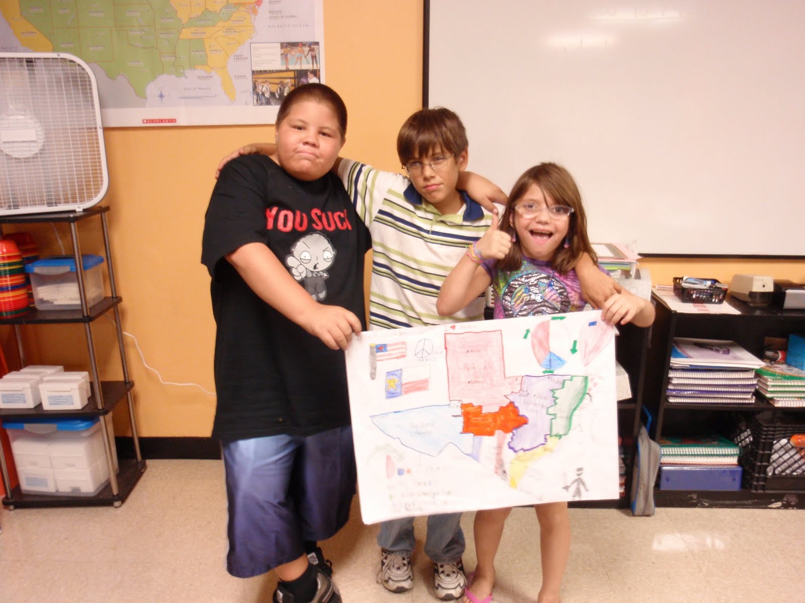


I tried to cover my friends face and my face came out blurry - AMBER
ReplyDeleteThe project was fun and we learned how to work in small groups. Better luck with the next photo opportunity. :)
ReplyDelete